The Amtrak Bridge is one of the bridges over the Grand River. It crosses the river just north of the Wealthy Street Bridge and south of the US 131 Bridge. It crosses the southern tip of Punk Island and is the main method used to get to the island. It is called the Amtrak Bridge because the tracks are used for the daily trains to and from Chicago. However the trains do not cross the bridge but only extend over the river on the bridge while parked at the Amtrak Station at Wealthy and Market.
Views from the Amtrak Bridge
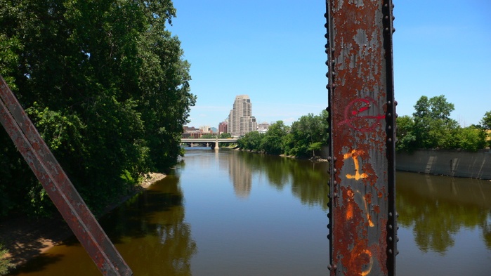
 View to the North from the Amtrak Bridge. Punk Island is the land mass to the left. US 131 Bridge and the Eastbank Towers are in view.
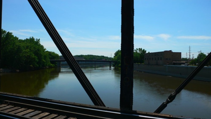
 View to the South from the Amtrak Bridge. The Wealthy Street Bridge is in the view.
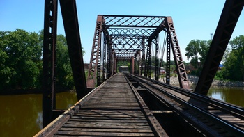
 View to the East on the Amtrak Bridge.
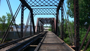
 View to the West on the Amtrak Bridge.
Map
Geographic coordinates are 42.958998° N, 85.681515° WLatitude: 42°57′32.393″N
Longitude: 85°40′53.454″W.


