New York Route 30 (NY 30) is a 300-mile long state highway in central New York that runs from the Southern Tier to the Canadian border. The route connects the Catskill Park to the Adirondack Park, and is sometimes known as the Adirondack Trail. In our area, it connects Tupper Lake via Wawbeek, Saranac Inn and Upper St. Regis to Paul Smiths and thence to Meacham Pond and Malone.
Route number 30 was assigned in the 1930 renumbering of New York state routes. Prior to that date it was designated NY 10 south of Lake Clear Junction, north of the Junction it was unnumbered as far as Paul Smiths; north of Paul Smiths, it was designated part of NY Route 3. 1
The section north of Paul Smiths was formerly known as the Malone Road.
| Old Address | Post-911 Address | Cottage Name | Cure Evidence/Notes |
| Lake Clear | |||
| 5839 NY 30 |
 5839 NY 30 5839 NY 30 |
||
| 5859 NY 30 |
 Mac's Canoe Livery Mac's Canoe Livery |
||
| 5863 NY 30 |
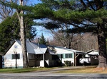 5863 NY 30 5863 NY 30 |
||
| 5865 NY 30 |
 5865 NY 30 5865 NY 30 |
||
| 5869 NY 30 |
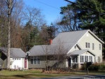 5869 NY 30 5869 NY 30 |
||
| 5873 NY 30 |
 5873 NY 30 5873 NY 30 |
||
| 5877 NY 30 |
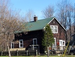 5877 NY 30 5877 NY 30 |
||
| 5891 NY 30 |
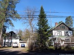 5891 NY 30 5891 NY 30 |
||
| 5945 NY 30 |
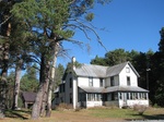 5945 NY 30 5945 NY 30 |
||
| 6007 NY 30 |
 6007 NY 30 6007 NY 30 |
||
| 6141 NY 30 |
 6141 NY 30 6141 NY 30 |
||
| 6143 NY 30 |
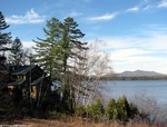 6143 NY 30 6143 NY 30 |
||
| 6146 NY 30 |
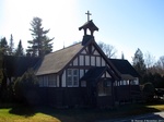 St. John's in The Wilderness of Lake Clear St. John's in The Wilderness of Lake Clear |
||
| 6148 NY 30 |
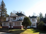 St. John's in The Wilderness Rectory St. John's in The Wilderness Rectory |
||
| 6156 NY 30 |
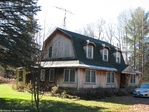 6156 NY 30 6156 NY 30 |
A.I. Vosburgh's Store | |
| 6160 NY 30 |
 6160 NY 30 6160 NY 30 |
||
| 6182 NY 30 |
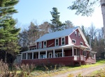 6182 NY 30 6182 NY 30 |
||
| 6187 NY 30 |
 6187 NY 30 6187 NY 30 |
||
| 6201 NY 30 |
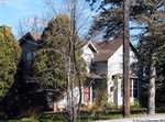 6201 NY 30 6201 NY 30 |
||
| 6216 NY 30 |
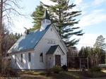 Lake Clear Church Lake Clear Church |
||
| 6221 NY 30 |
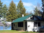 6221 NY 30 6221 NY 30 |
||
| 6224 NY 30 |
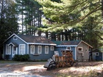 6224 NY 30 6224 NY 30 |
||
| 6228 NY 30 |
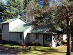 6228 NY 30 6228 NY 30 |
||
Malone Palladium, April 3, 1890.
The [Franklin County] Board of Supervisors
[…]
An act has been passed creating a separate highway district in Brighton and Harrietstown. Its purpose is to secure the opening of a road from Paul Smith's, passing the shores of Big Clear Pond, and joining the present highway leading from Harrietstown to Saranac Inn. The new road will shorten the distance between Paul Smith's and Saranac Inn by seven or eight miles and also make access to Big Clear Pond easier.
Plattsburgh Sentinel, April 15, 1892
—It is said the road from Malone to Tupper Lake, also the branch to Saranac Lake, will be open for summer travel by July 1
Malone Farmer, April 4, 1906
The Board of Trade of Saranac Lake … has also declared in favor of the proposed State road from the Mohawk to the St. Lawrence passing through Saranac Lake village. One proposed route is from Axton to Upper Saranac Lake, thence northward along the shore of the Upper Saranac through Santa Clara to the Brighton line, and thence to Paul Smith's and northward. This route Saranac Lake village does not approve of because it only passes through the southern end of Harrietstown. If such a road is ever constructed it ought to go to Saranac Lake, there to connect with the Essex county system.
Tupper Lake Herald And Adirondack Mt. Press, July 14, 1927.
CONCRETE ROUTE WORK TO SARANAC LAKE STARTED
An important highway link between Saranac Lake and Tupper Lake which has been in only partial use this season will be open again with a new concrete pavement early in August.
Pouring of concrete pavement on Southern end of the new State highway from the Lake Clear fish hatchery to Paul Smiths began the past week following grading operations during the spring months.
The portion of the new pavement between the fish hatchery and Lake Clear Junction, which will replace the old narrow town macadam, is expected by Supervisor A. I. Vosburg, of the Town of Harrietstown to be completed in about four weeks
When this work is done, motorists from Saranac Lake to Tupper Lake and points south and west will be able to travel over full width macadam most of the distance to the latter village.
While the part under construction has been kept open for travel most drivers have used the alternative route by way of the Forest Home road out of Saranac Lake. This road is of town macadam in good condition.
Beyond Wawbeek corners on the road thru Saranac Inn to Tupper Lake, a State construction gang is engaged in widening and straightening the somewhat narrow road that extends from that point to within a short distance of Tupper Lake.
This improvement in connection with-that thru Lake Clear will complete the task of the State in providing a modern highway from Saranac Lake to Tupper Lake.
This route leaves Saranac Lake out Broadway and continues to Works Corners on the Harrietstown road where it turns to the left to Lake Clear Junction and "bends south thru Lake Clear and Saranac Inn.
Lake Placid News, June 13, 1924,
IMPORTANT ROADS TO BE FINISHED
Saranac Inn-Tupper Lake Road Will be Done This Season
The Saranac Inn-Tupper Lake State highway, now partially closed, will be finished this season, according to information received today.
This road, which is the connecting link between Albany and Montreal via Tupper Lake, is one of the most important arteries thru the Adirondacks.
For years various organizations including the Chamber of Commerce of Tupper Lake and Saranac Lake, have been agitating this road. When completed it will make an important highway between Lake Placid, Saranac Lake and Tupper Lake…
Malone Farmer, August 5, 1925
...The [Franklin County] Board [of Supervisors] also adopted a resolution authorizing proceedings to acquire rights of way for the State and Federal Aid highway to be built from Saranac Inn station to Lake Clear Junction and thence to Paul Smiths and making available funds for acquiring such rights of way...
Lake Placid News, September 23, 1927
Saranac Inn-Lake Clear Road Nearly Finished
Announcement has been made that the new concrete highway between Saranac Inn and Lake Clear Junction is nearly completed and partially open to traffic. For some little time the full width of the road will not be in use as the concrete on one side is still drying. This route is part of the new construction between Paul Smith's and Saranac Inn station. The link just finished is on the main highway between Saranac Lake and Tupper Lake by way of Work's corners and Lake Clear. It is planned next summer to extend the concrete construction from Lake Clear to Paul Smith's. An overhead crossing is planned for Lake Clear Junction.
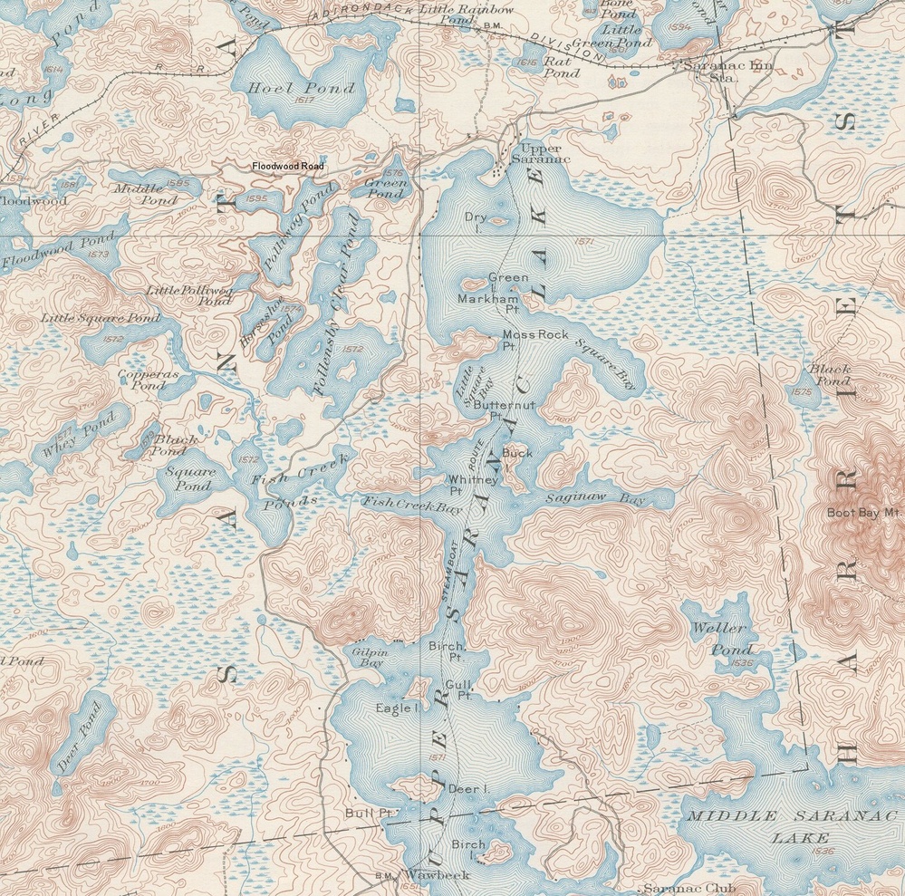 1905 USGS map showing the road that would become NY 30 running along the west side of Upper Saranac Lake. At the time, it was a dirt road, apparently no bigger than Floodwood Road.
 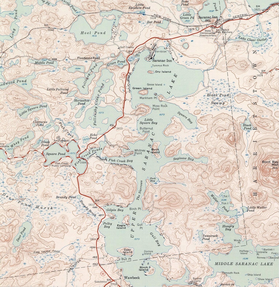 1955 USGS map of Upper Saranac Lake showing essentially the modern NY 30.


