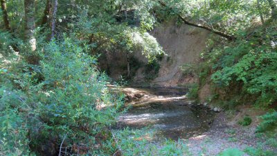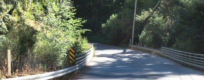
 Where Kings Creek crosses Kings Creek Road.
Stream
Kings Creek runs about seven miles along Kings Creek Road. It starts just outside Castle Rock State Park (near Highway 35) at elevation of 3,000 feet and flows south to joins the San Lorenzo River near Highway 9 north of Boulder Creek. During the rainy season Kings Creek is a major contributor to the water flow of the San Lorenzo River. Flows over Castle Rock Falls in Castle Rock State Park. Kings Creek is fed by rainfall and by several springs. The creek generally flows all year-round, except does dry up in very late summer/early fall before the rainy season in drought years.
History
Named for a land owner in the area named James King, in the mid 1800's.
Businesses
The town of Boulder Creek is about three miles south.
Transportation
Bus Route 35 (Mountain Store) travels Highway 9.
Maps
USGS topograpic map:
| Latitude(DMS) | Longitude(DMS) | Map Name |
| 370919N | 1220803W | Big Basin |
| 371350N | 1220602W | Castle Rock Ridge |
 |
This entry is a seed - a starting point for writing a full entry. You can help the Santa Cruz Wiki by expanding it! Simply click on the "Edit" button. |


