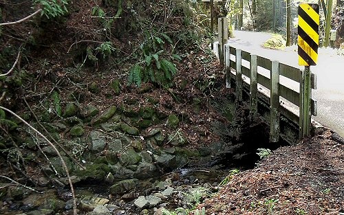
 Lompico Creek flowing under Lompico Road.
Lompico Creek starts around 1400 feet elevation and flows west and south to join Zayante Creek. Lompico Creek is the water source for the community of Lompico.
Community
The community of Lompico is on both sides of Lompico Creek.
History
The name of the creek might be from the Spanish "loma" and "pico" which would mean "peak hill."
Transportation
Nearest bus stops are on East Zayante Road.
Maps
USGS topograpic map:
| Latitude(DMS) | Longitude(DMS) | Map Name |
| 370455N | 1220303W | Felton |
 |
This entry is a seed - a starting point for writing a full entry. You can help the Santa Cruz Wiki by expanding it! Simply click on the "Edit" button. |


