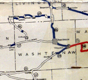
 Michigan Trunkline System 1919 map, Washtenaw County portion.
In 1918, the state of Michigan, following the lead of Wisconsin, began to design and mark its own system of interconnected and numbered "state" highways. This first attempt at simplification and systematization proved to be of great value to the motorist. This 1919 map issued by the Department of Highways is one of the first to denote state route numbers as well as road surface type; relatively few roads at the time were paved.


