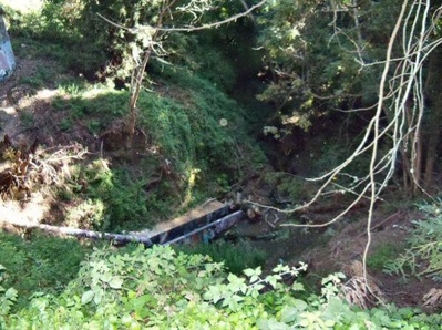
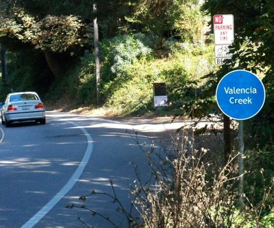
 Valencia Creek is shallow with less water in summer.
Valencia Creek flows 7.25 miles from the Forest of Nisene Marks State Park to Aptos Creek. Waterflow average is about .5 cubic feet per second. Valencia Creek is part of the Aptos Creek watershed. Elevation is from 56 to 17 feet above sea level. Valencia Creek had the sixth highest population of trout in the county. Trees along Valencia Creek include alder, box elder, maple, redwood, tan oak, willow, and maple.
Community Valencia Creek flows through Aptos Village where it meet Aptos Creek.
History Valencia is a family name of some early settlers in the area.
Businesses In 2001 an environmental concern was raised that the water in Valencia Creek has become more toxic due to runoff waste from meth labs and marijuana farms. No direct evidence has been found.
Maps
 Where Valencia Creek meets Soquel Drive.
Valencia Creek is found on USGS maps:
| Sequence | Latitude(DEC) | Longitude(DEC) | Latitude(DMS) | Longitude(DMS) | Map Name |
| 1 | 36.9766174 | -121.8969014 | 365836N | 1215349W | Soquel |
| 2 | 36.9835617 | -121.8757894 | 365901N | 1215233W | Watsonville West |
| 3 | 37.0418936 | -121.8463434 | 370231N | 1215047W | Loma Prieta |
 |
This entry is a seed - a starting point for writing a full entry. You can help the Santa Cruz Wiki by expanding it! Simply click on the "Edit" button. |


