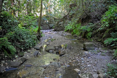
 About one mile from where the creek starts it flows through Bethany University
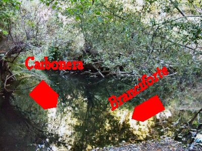
Carbonera Creek is about eight miles long. It starts at elevation of about 1,100 feet in the Santa Cruz mountains in the area of Mount Roberta and Glenwood Basin. It winds southernly through Scotts Valley and joins Branciforte Creek in Santa Cruz.
Carbonera Creek also supports rare species of plant life. The Bonny Doon Manzanita (Arctostaphylos silvicola) and the endangered Ben Lomond Wallflower (Erysimum teretifolium).
History
The name of the creek is from Rancho la Carbonera. A carbonera is Spanish for a coal bucket. A carbonero is a person that makes charcoal. There are many theories on why the word was chosen. None have any real evidence.
Landmarks
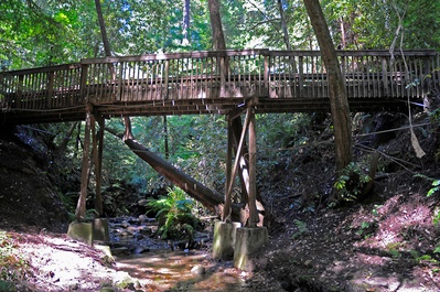
 The footbridge that leads to the Redwood Amphitheater on the campus of Bethany University.
At about one mile after the creek begins in the Santa Cruz mountains, it flows through the campus of Bethany University and passes under a footbridge that leads to their Redwood Amphitheatre.
 Where Carbonera Creek joins Branciforte Creek.
Maps
USGS Maps for Carbonera Creek:
| Sequence | Latitude(DEC) | Longitude(DEC) | Latitude(DMS) | Longitude(DMS) | Map Name |
| 1 | 36.9741171 | -122.0221849 | 365827N | 1220120W | Santa Cruz |
| 2 | 36.9999496 | -122.0166295 | 370000N | 1220100W | Santa Cruz |
| 3 | 37.0899475 | -121.9799598 | 370524N | 1215848W | Laurel |
References
* Santa Cruz County Place Names: A Geographical Dictionary by Donald Thomas Clark, page 64.
 |
This entry is a seed - a starting point for writing a full entry. You can help the Santa Cruz Wiki by expanding it! Simply click on the "Edit" button. |


